Update to the NTP Drone Survey Webpage
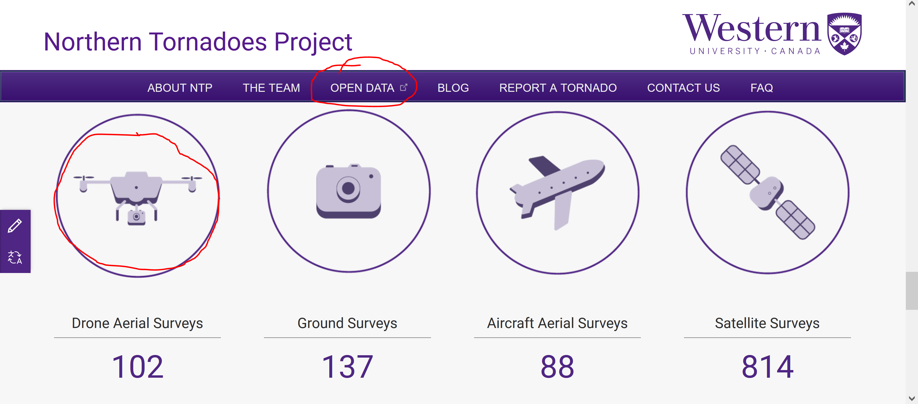
Recently, we’ve updated our Drone Surveys page on our open data site to make drone data more accessible and easier to filter through. Getting to it is as easy as going to the Open Data site, scrolling down and clicking on the drone symbol! Alternatively, you can click on this link: https://ntpopendata-westernu.opendata.arcgis.com/pages/drone-surveys
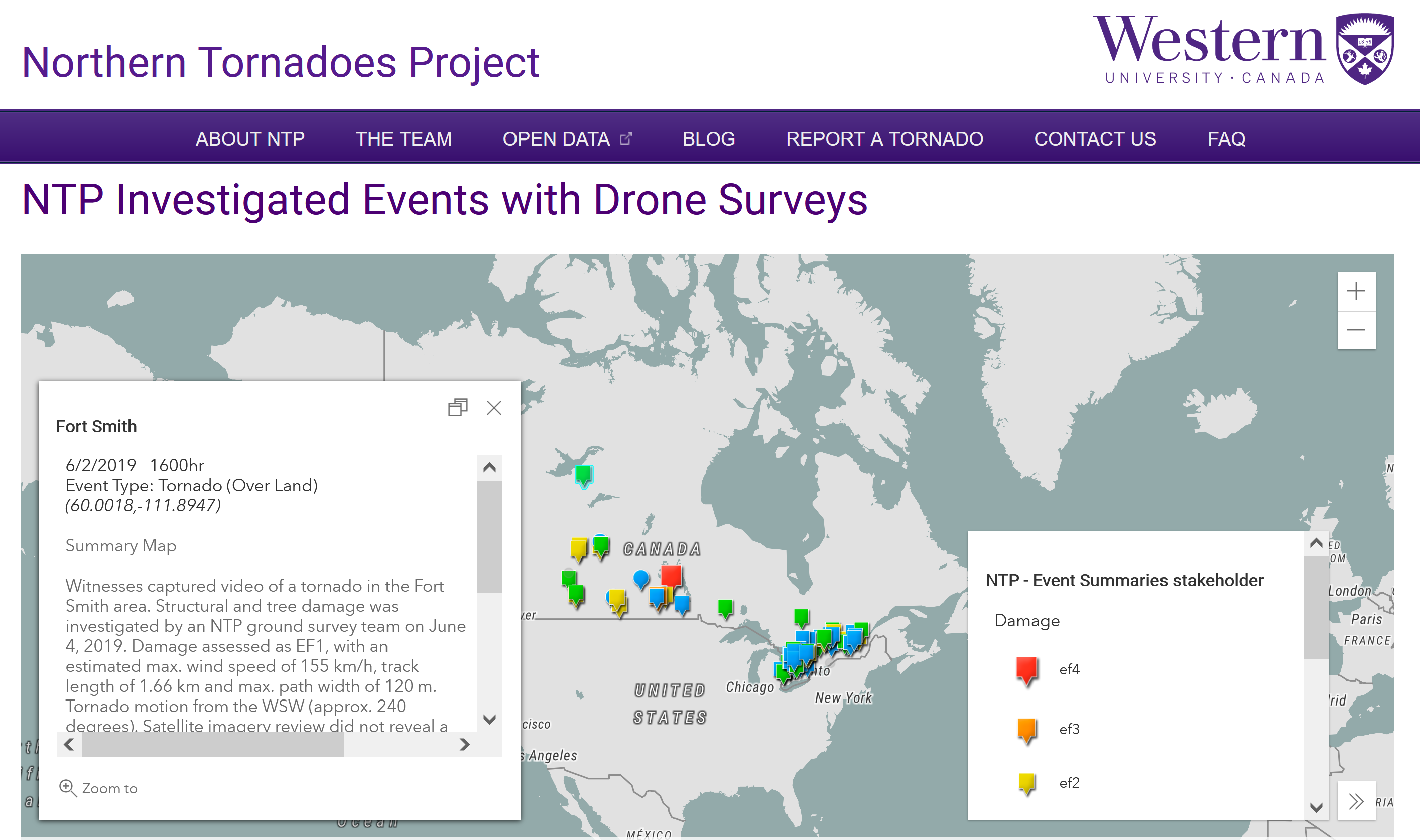
The first new feature is being able to look at every survey we’ve done where we have quadcopter photos. Quadcopters are the most commonly used type of drone at NTP, in 2021 alone, quadcopters were used in over 40 ground surveys and captured over 2000 photos. Click on the pins on the map gives you more info about the event, with the option of going to the Event Map where you can see each individual drone photo, along with the GPS location of where it was taken.
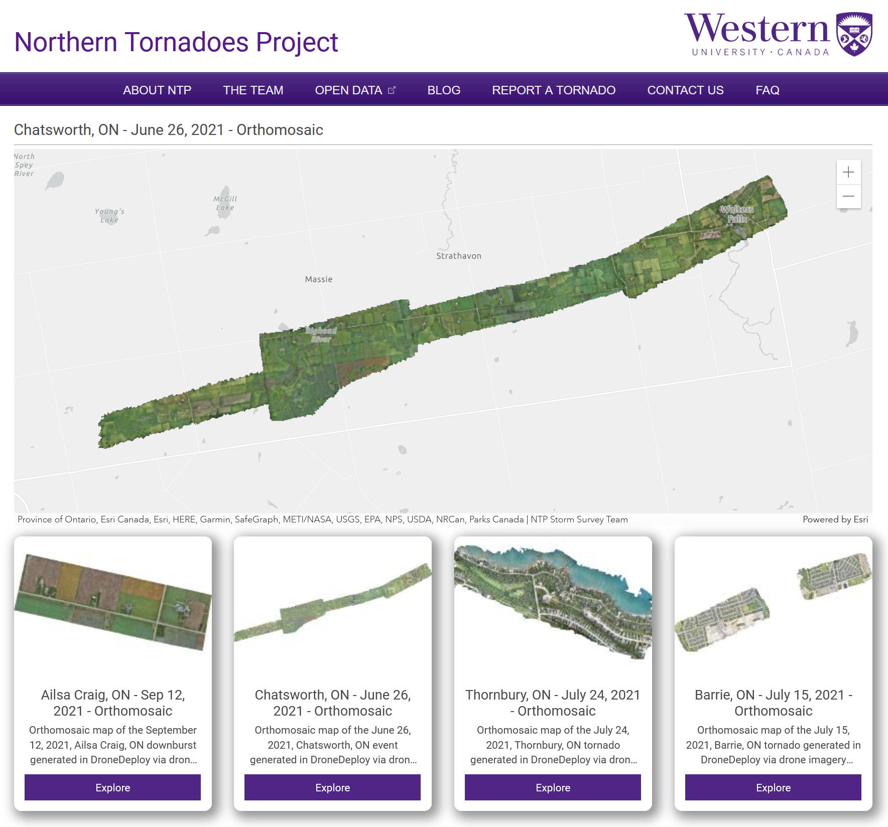
Next, we’ve put up a gallery of all of the orthomosaic maps we’ve ever made. Orthomosaics are made up of a series of individual, overlapping photos which have been stitched together using drone mapping software to form a new composite image, consisting of a mosaic of the smaller images. They’re a fantastic way to quickly scan through a damaged area.
Finally, we’ve begun exploring some 3D outputs, and have a section on how we hope to improve upon this in the future. For now we have a small preview of a 3D rendering of some of the worst damage from the 2021 Barrie tornado.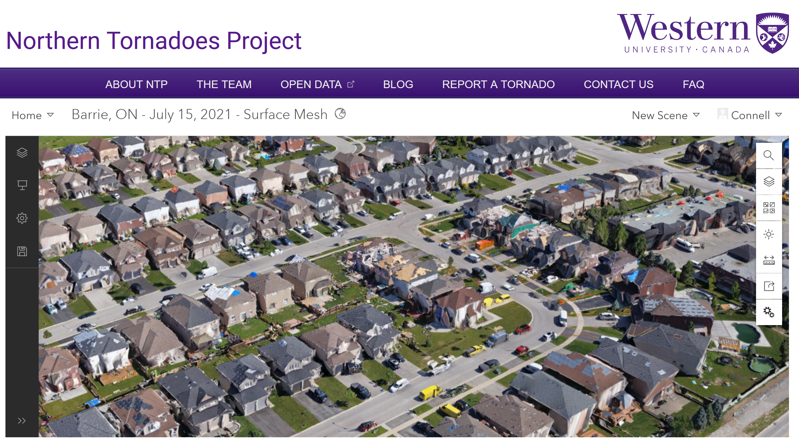
All of our data is free and accessible for anyone who wants to use it, just please remember to credit the Northern Tornadoes Project wherever you choose to use it.