EF0 tornado at Deep River, ON on June 23
NTP investigation, including a thorough ground/drone survey by an NTP field team, has led to the confirmation of an EF0 tornado at Deep River, ON on the afternoon of June 23. The tornado felled trees, caused minor structural damage, and flipped a boat that was in the water. There were no reported injuries.
The full details can be found in the event summary below, as well as maps and photos. The tornado can also be plotted on a map using the NTP Dashboard here.
====
Event Name: Deep River, ON
Date: June 23, 2024
Start Time: 2:53 PM EDT (1853 UTC)
Final Classification: Tornado (Over Land)
Final EF-Scale Rating: EF0
EF-Scale Damage Indicator / Degree of Damage: C-T/DOD-3
Start of damage track: 46.1006N, 77.4902W
End of damage track: 46.1034N, 77.4820W
Location of worst damage: 46.1018N, 77.4868W
Description: Witness captured video of a tornado over the Ottawa River near Deep River, where tree damage and a flipped pontoon boat was also reported. No injuries were reported. An NTP ground survey was completed on June 24, 2024, documenting the narrow path of damage. Damage assessed as EF0 tornado, with an estimated max. wind speed of 115 km/h, track length of 0.7 km and max. path width of 130 m. Tornado motion was from the WSW (approx. 245 degrees). Start time is based on witness video. Satellite imagery review is pending.
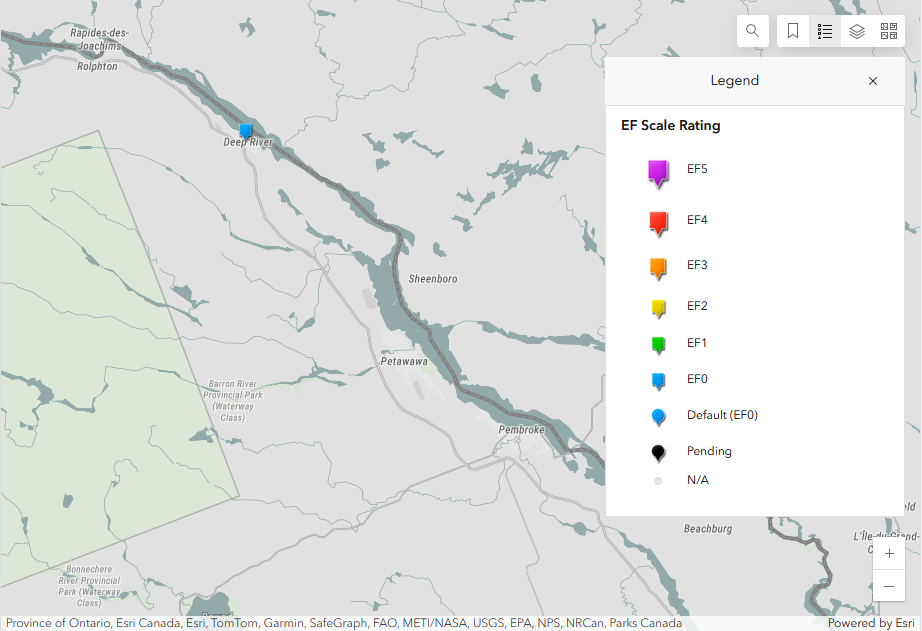
Regional map showing the location of the Deep River EF0 tornado.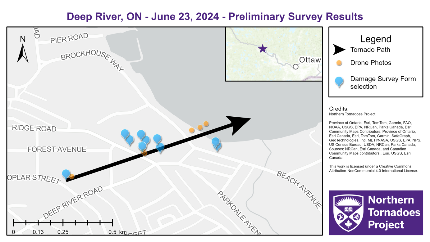
Survey map showing the path of the Deep River, ON tornado.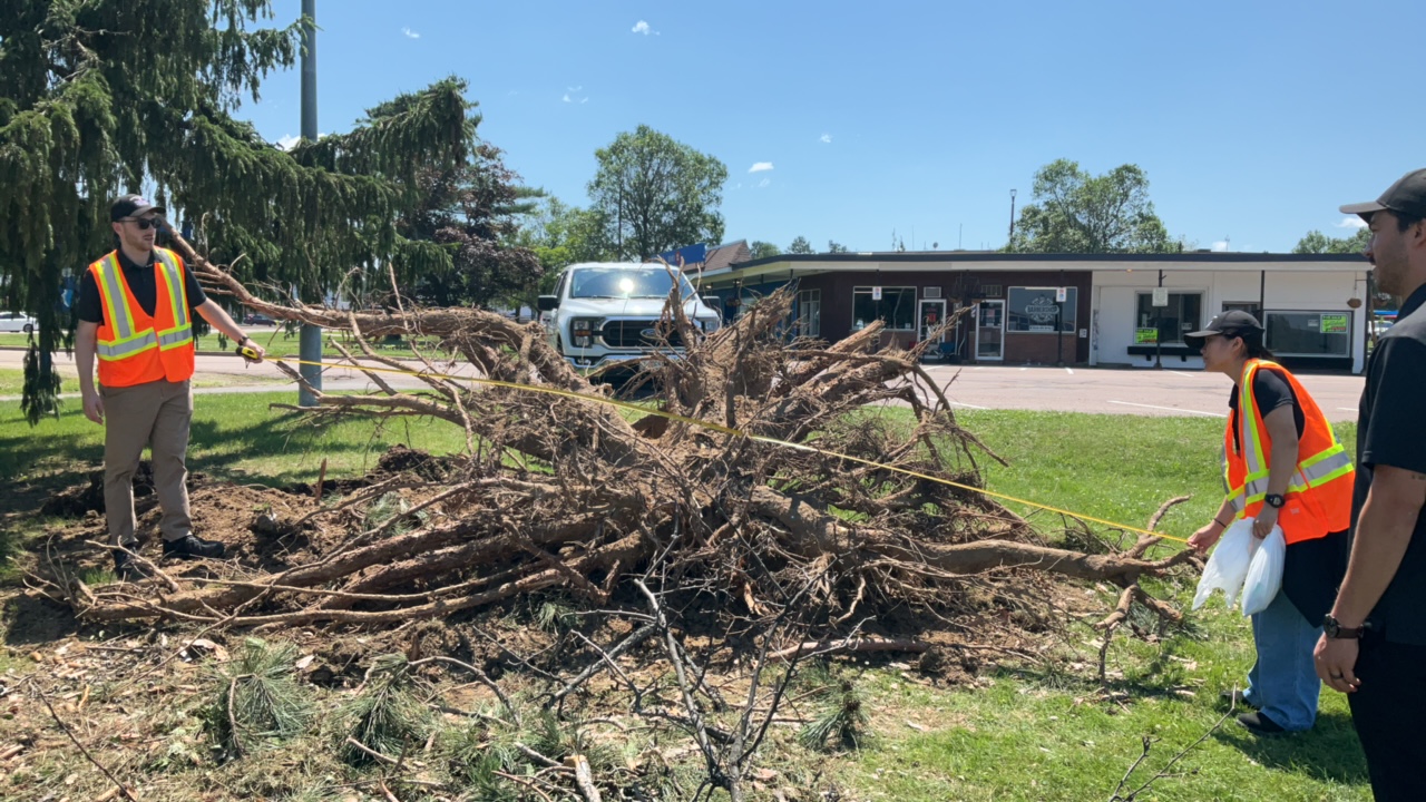
The NTP survey team measuring the size of the roots with this large tree felled by the tornado.
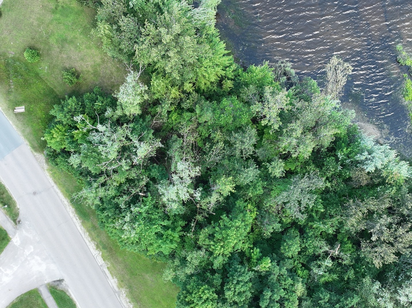
Drone image showing some tree damage along the shore of the Ottawa River near the end of the tornado track.