May 13 microburst at Rothsay, ON
An NTP storm damage survey conducted today, May 14, has resulted in the confirmation of a microburst that occurred at Rothsay, ON on May 13. The microburst ripped the roof and the top section of the walls from a farm outbuilding and caused damage to trees. It was estimated that winds to 130 km/h caused the damage, which is at the top end of EF0 on the Enhanced Fujita scale. The storm event summary, a map and an aerial photo are provided below. Note that the event can also be plotted on a map using the NTP's dashboard here.====
Event Name: Rothsay, ON
Date: May 13, 2024
Time: 5:35 PM EDT (2135 UTC)
Final Classification: Downburst (Microburst)
Final EF-Scale Rating: EF0
EF-Scale Damage Indicator / Degree of Damage: SBO/DOD-6
Description: Damage to the roof and walls of an outbuilding was reported after a storm passed through the Rothsay area (southeast of Teviotdale). No injuries were reported. An NTP ground and drone survey was completed on May 14, 2024, documenting the reported damage and minor tree damage on the property. No other damage was discovered. Damage assessed as EF0 downburst (microburst), with an estimated max. wind speed of 130 km/h. Event time is based on radar imagery and witness account. Satellite imagery review is pending.
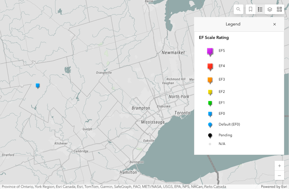
Map showing the location of the Rothsay, ON EF0 microburst.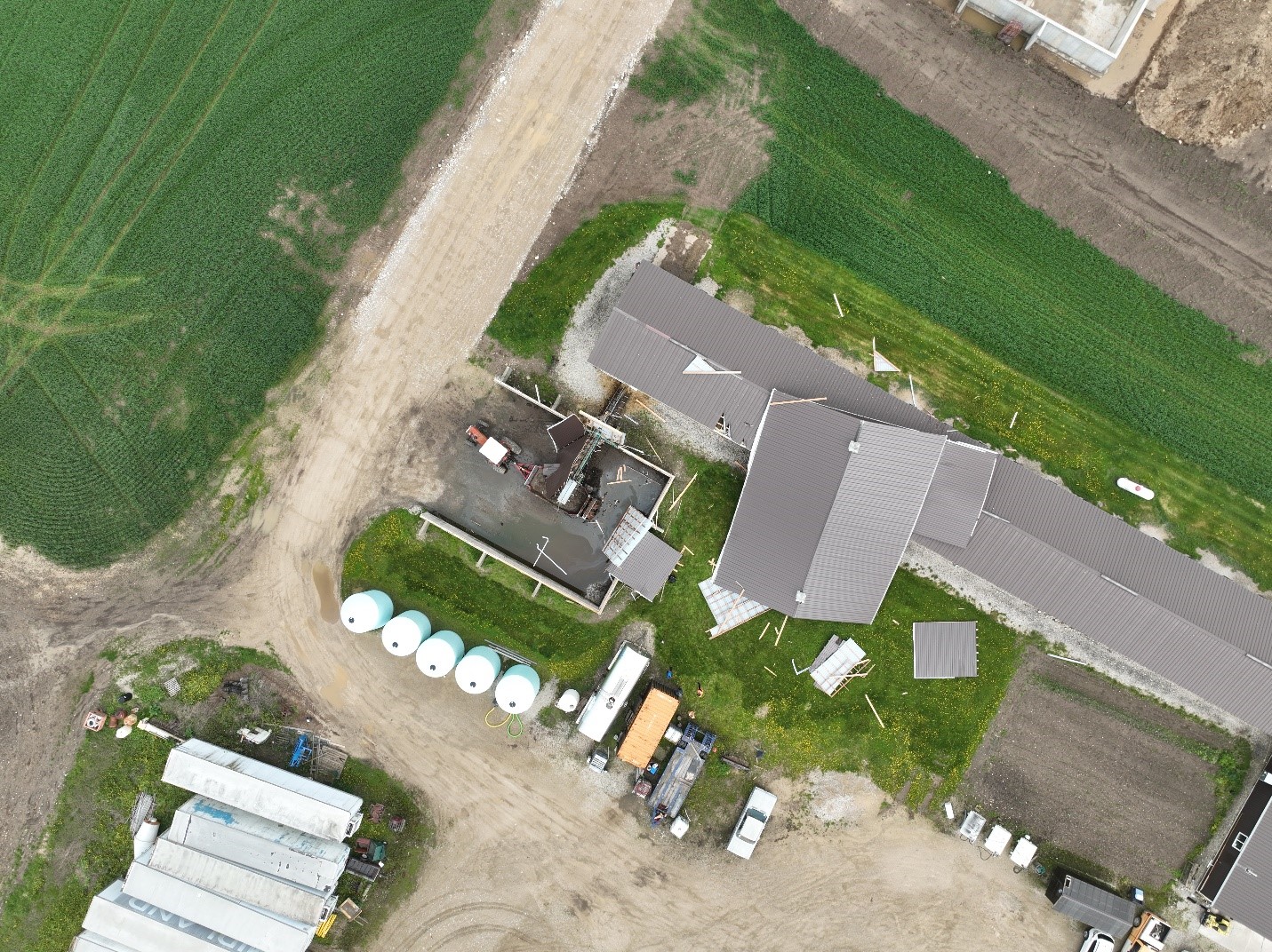
NTP drone image showing roof and partial walls removed from an outbuilding. The walls collapsed and the roof was rotated and set down on an adjacent structure to the east. Note that the outbuilding was completely open to the WNW, which was close to the direction that the microburst winds came from (W).