New non-tornadic events May 7-13
The NTP has completed remote investigations for several new non-tornadic events that occurred May 7-13 in southern Ontario and southern Alberta.
On May 7, evening storms produced two microbursts - one near Appin, ON that heavily damaged a barn, and another near Terminus, ON that heavily damaged a Quonset-style structure. Since the area of the downburst damage in each case was less than 4 km, the events are called 'microbursts'. In both cases, the estimated maximum wind speed was 130 km/h which is the high end of EF0 on the Enhanced Fujita scale.
On May 10 and 11, there were a number of reports of funnel clouds in association with widely scattered heavy showers and a few thunderstorms. These reports were clustered in southerwestern Ontario and resulted in the following classifications:
- May 10 near Stratford, a funnel cloud aloft with the surface obscured -> Unclassified Visual Vortex (UVV)
- May 10 near Goodwood, a funnel cloud aloft with no evidence of a ground circulation -> Vortex-Funnel Cloud Aloft (VFCA)
- May 11 near Petrolia, a funnel cloud aloft with the surface obscured -> Unclassified Visual Vortex (UVV)
- May 11 near Sylvan, a funne cloud with visual evidence of a very weak circulation at ground level (assessed as not capable of causing damage) -> Sub-Tornadic Vortex (STV)
- May 11 near Poplar Hill, a funnel cloud (photo provided below) with no evidence of a ground circulation -> Vortex-Funnel Cloud Aloft (VFCA)
On May 13, a seasoned chaser (and NTP Super-Contributor) reported a gustnado near Spring Coulee, AB. Gustnadoes are near-surface vortices that occur along thunderstorm gust fronts and are not considered to be tornadoes because they are not connected to the main thunderstorm updraft region. And unless they cause damage, they are not counted as 'events' in our database.
All of the above events can be plotted on the NTP Dashboard map here.
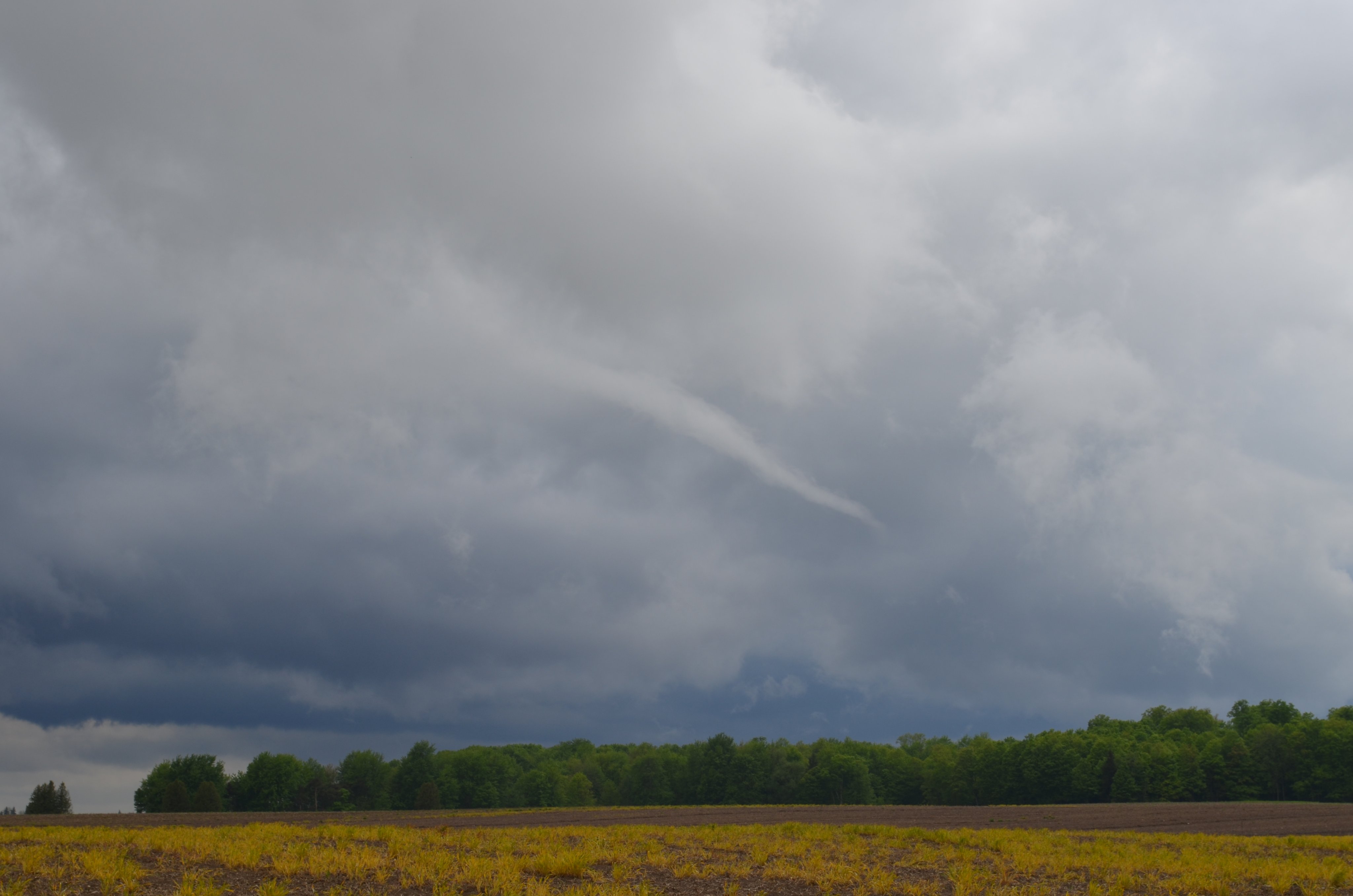
Photo of funnel cloud aloft near Poplar Hill, ON (photo by Dave Sills)