Tornado over water for PEI on Oct 10
NTP investigation has confirmed that a tornado over water occurred at Prince Edward Island's Malpeque Bay near Hog Island on October 10. Based on video, photos and eyewitness descriptions, it appears the tornado remained offshore as a waterspout. As no damage appears to have occurred, an EF0-Default rating has been assigned.Detail are provided in the event summary below, along with a map and photo/video links. The tornado can be plotted on a map using the NTP Dashboard here.
====
Event Name: Malpeque Bay (Hog Island, PE)
Date: October 10, 2024
Estimated Start Time: 7:20 AM ADT (1040 UTC)
Preliminary Classification: Tornado (Over Water)
Preliminary EF-Scale Rating: EF0-Default
Estimated Tornado Location: 46.58N, 63.76W
Description: Witnesses captured video and photos of a waterspout over Malpeque Bay, near Hog Island. No damage has been reported. Satellite imagery review of the shoreline is pending. Event time is estimated based on witness report.
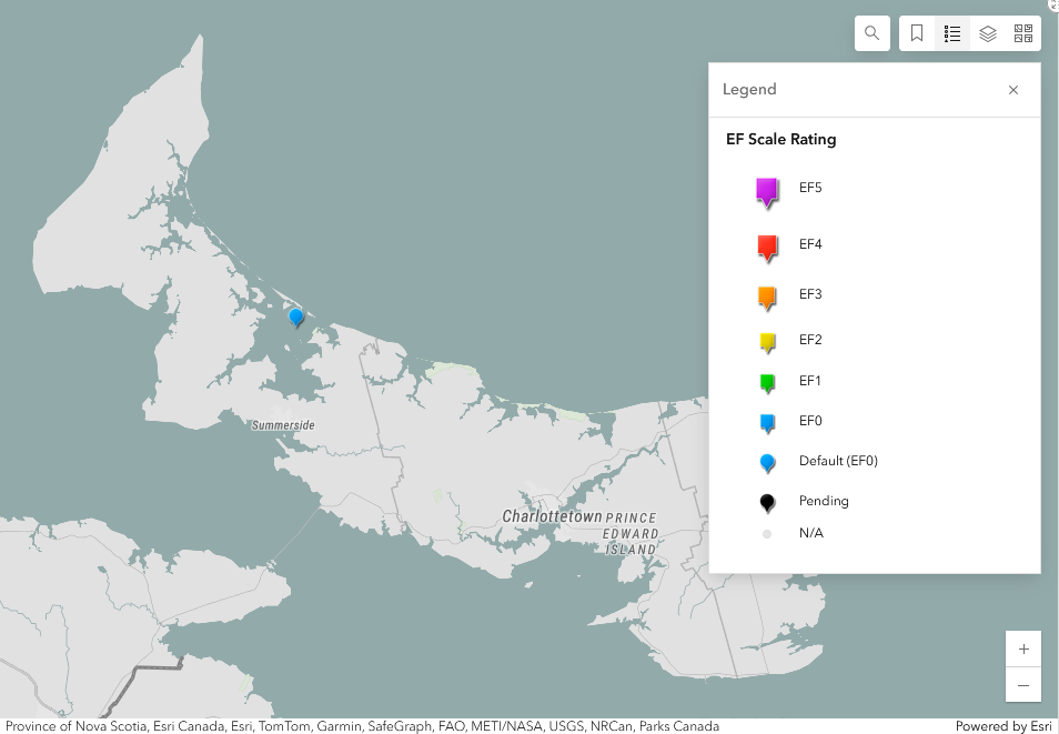
Regional map showing the location of the PEI tornado over water from October 10.
Links:
https://www.facebook.com/groups/570991111570187/posts/906927341309894/
https://www.facebook.com/neil.ellsworth.3/videos/493963583631513
https://www.facebook.com/photo.php?fbid=10169797946460341&set=p.10169797946460341&type=3
https://www.facebook.com/groups/154488281345006/posts/8158564957603925/