Two EF0 tornadoes in NB on June 30
NTP investigation, including our first-ever ground/drone survey east of Quebec, has concluded that two tornadoes occurred in New Brunswick on the afternoon of June 30. The first tornado at Carlow caused house and tree damage while the tornado at Centre Glassville 5 minutes later caused a longer and wider path of just tree damage. EF0 ratings are preliminary pending analysis of high-resolution drone imagery.
Full details are provided in the event summaries below, along with a map and photos. The tornadoes can be plotted using the NTP Dashboard here.
====
Event Name: Carlow, NB
Date: June 30, 2024
Start Time: 3:15 PM ADT (1815 UTC)
Final Classification: Tornado (Over Land)
Final EF-Scale Rating: EF0
EF-Scale Damage Indicator / Degree of Damage: FR12/DOD-2
Start of damage track: 46.5116N, 67.5135W
End of damage track: 46.5053N, 67.4198W
Location of worst damage: 46.5121N, 67.5112W
Description: House and tree damage was reported in the Carlow area after a storm passed through. No injuries were reported. Satellite imagery revealed some tree damage in the area. An NTP ground and drone survey was completed on July 4-5, 2024, documenting the reported damage. Damage assessed as EF0 tornado, with an estimated max. wind speed of 125 km/h, total track length of 7.29 km and max. path width of 300 m. Tornado motion was from the W (approx. 275 degrees). Start time is radar estimated.
Event Name: Centre Glassville, NB
Date: June 30, 2024
Start Time: 3:20 PM ADT (1820 UTC)
Final Classification: Tornado (Over Land)
Preliminary EF-Scale Rating: EF0
EF-Scale Damage Indicator / Degree of Damage: C-T/DOD-4
Start of damage track: 46.5368N, 67.4519W
End of damage track: 46.5182N, 67.2457W
Location of worst damage: 46.5289N, 67.3142W
Description: Tree damage was reported in the Foreston area after a storm passed through. No injuries were reported. Satellite imagery revealed addtional tree damage along the storm track. An NTP ground and drone survey was completed on July 4-5, 2024, documenting tree damage from Centre Glassville to east of Foreston. Possible downburst damage was also documented by the team. Tornado damage preliminarily assessed as EF0, with an estimated max. wind speed of 130 km/h, track length of 16.4 km and max. path width of 650 m. Tornado motion was from the W (approx. 275 degrees). Start time is radar estimated. Further investigation of drone imagery is pending.
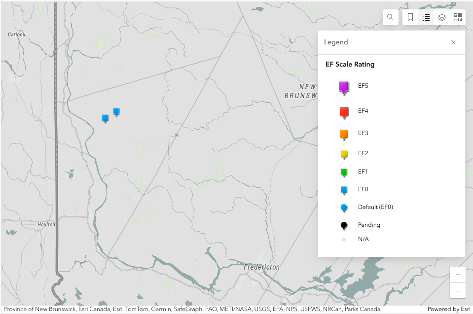
Regional map showing the start locations of the two EF0 tornadoes.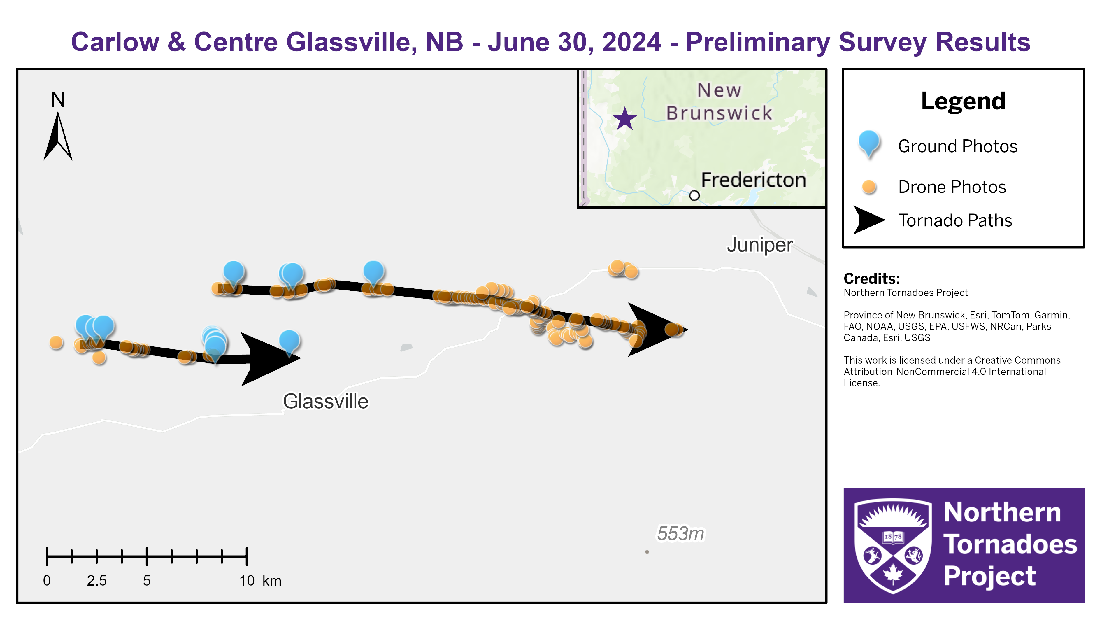
Survey map showing the tracks of the two tornadoes.
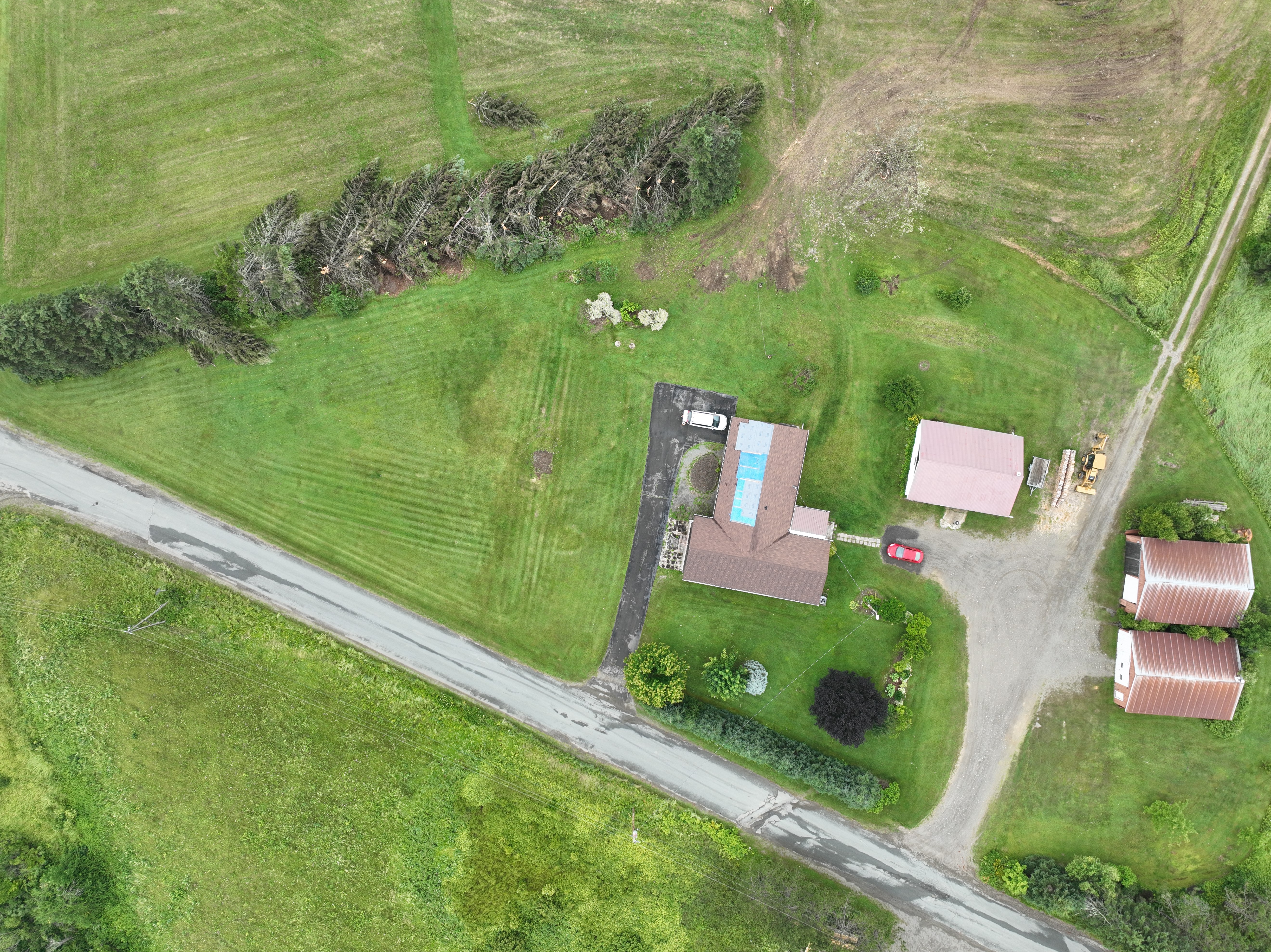
Drone image showing damage to trees and shingles on a house roof with the Carlow tornado.
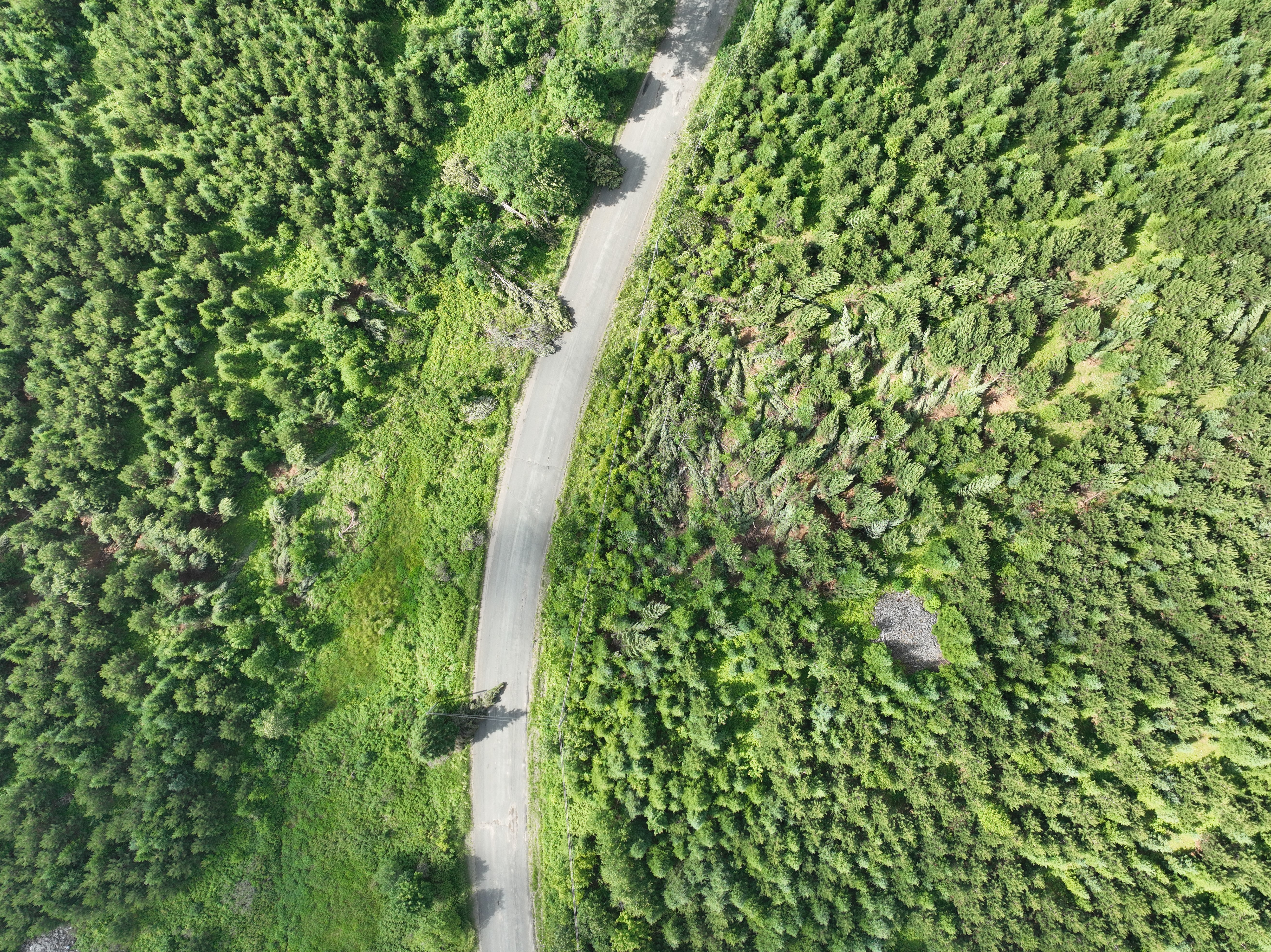
Drone image showing convergent treefall along the path of the Centre Glassville tornado.
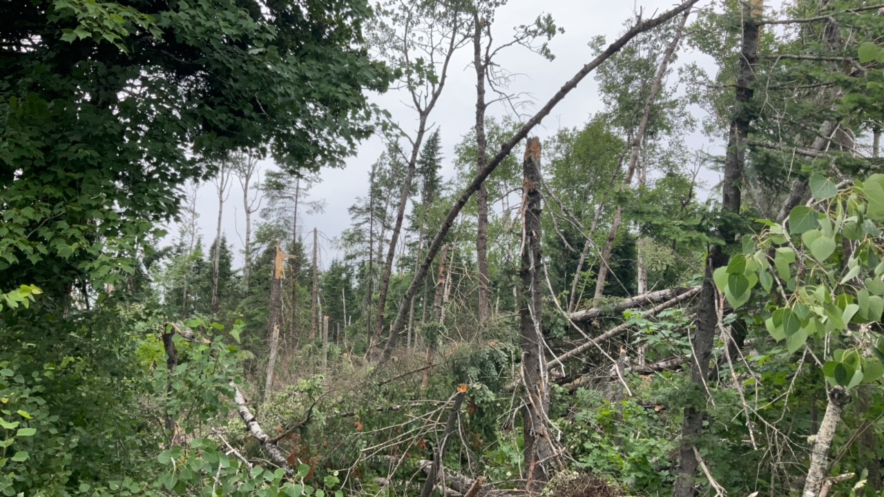
Ground photo of snapped and uprooted trees near the worst-damaged area of the Centre Glassville tornado.